The key facts
- The Met Office yellow warning is in force from midnight on Tuesday for the Midlands, north-east and north-west England, North Yorkshire and south-west Scotland
- 1–5 cm of snow is expected, with up to 5–15 cm at elevations of 300–400 m
- Delays on roads and railways and power cuts are possible; cold health alerts remain in force until Thursday
Snow and ice threaten northern Britain
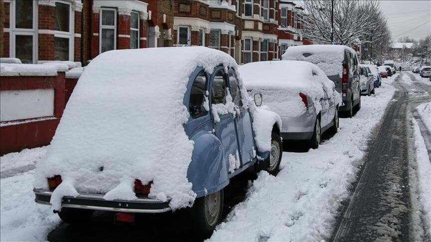
The UK Met Office has issued a yellow warning — the lowest level of severity — due to the arrival of Arctic air, which will bring frosts, ice and potential transport problems early in the week. The warning comes into force at midnight on Tuesday and covers parts of the Midlands, north-east and north-west England, North Yorkshire and south-west Scotland.
What is expected and what the risks are
In the affected areas, 1 to 5 cm of snow is forecast, while at elevations above 300–400 metres accumulations may reach 5–15 cm. Winter conditions could complicate road and rail travel: journey times will increase, and delays to buses and trains are possible. Power cuts cannot be ruled out either. On Monday morning, northern England, Scotland and Northern Ireland woke to widespread frosts, with snow showers in places on higher ground.
Cold health alerts and the outlook for the week
The UK Health Security Agency is keeping cold alerts in place for north-west and north-east England, Yorkshire and the Humber until Thursday. According to forecasts, the cold snap in the south of the country will be short-lived: by midweek, temperatures there will rise above average values. The north is likely to remain colder and drier, while the south faces milder, wetter and windier conditions with heavy showers.