The key facts
- Built-up land in high-risk Himalayan zones grew by about 45% in 2016–2023, and in glacial lake zones by almost 78% (study in Scientific Reports)
- Built-up area in high-risk Himalayan zones grew by roughly 45% between 2016 and 2023, and in glacial lake zones by almost 78% (study in Scientific Reports)
- The study was conducted before the August floods that claimed more than 1,400 lives in Nepal
- Nepal's authorities are preparing a ban on settlements within 15 m of the riverbank in the affected Rasuwa–Bhotekoshi corridor
- Nepali authorities are preparing a ban on settlements within 15 metres of the riverbank in the affected Rasuwa–Bhotekoshi corridor
Construction in hazardous zones has accelerated
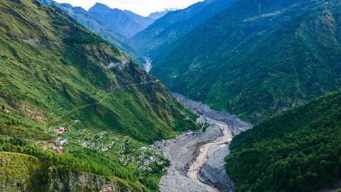
At least 300,000 people in parts of the Himalayan region may now be living in the path of potential disasters — this is the conclusion of a peer-reviewed study published in the journal Scientific Reports, which is reported by BBC News. Nine scientists from the UK, Nepal and India analysed areas up to 50 km downstream of Himalayan rivers and zones around roughly 1,360 glacial lakes. Built-up land in high-risk zones in northern Nepal, south-eastern Tibet and the corner of the Indian state of Uttarakhand grew by about 45% between 2016 and 2023, while in areas especially threatened by glacial lake outburst floods it grew by almost 78% over the same period. The authors stress that the actual number of people at risk may be considerably higher: they analysed only a specific territory, not neighbouring areas with similar risks.
The study preceded the August disaster
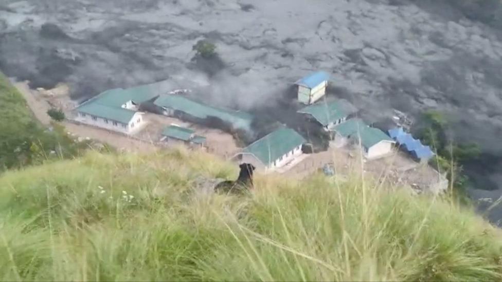
Notably, the study was completed before the destructive mass floods in August, in which, according to the BBC, more than 1,400 people died and thousands remain missing in Nepal. Smaller incidents occurred later as well: on 11 October a flood on the Budhi Gandaki river damaged 200 houses, swept away five bridges and left five people missing. The study's methodology gives grounds to consider its estimates understated: the authors counted as at risk only buildings within 50 vertical metres of a river or lake surface, yet, according to residents of the Rasuwa district, during the catastrophic flood of 26 August the river level rose by as much as 70 m in places — then even relatively distant structures were affected, buried by mudslide debris.
Tourism, hydropower and weak regulation
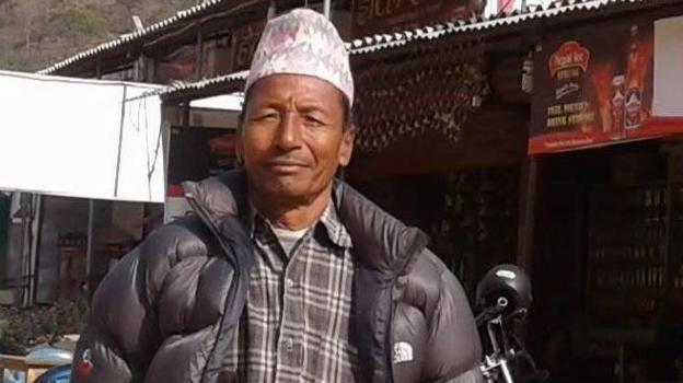
The growth of construction is visible in the tourist hub of Pokhara, which has expanded significantly over 30 years: mayor Dhan Raj Acharya says many old buildings stand just 5 m from the banks of the Seti Gandaki river, despite the new rules. In the areas of the Bhotekoshi and Trishuli rivers, according to the BBC, hydropower plant construction has grown significantly. President of the Pokhara Hotel Association Laxman Subedi admitted that the tourism business expanded 'without proper planning', while geographer Khagendra Poudel of Tribhuvan University notes that investors promote dangerous locations as destinations without taking risks into account. Urban planning expert Surya Raj Acharya observes that roads, hydropower plants, hotels and settlements occupied the available low-lying land along rivers, ignoring protective standards: 'The fragile Himalayan ecosystem requires stricter rules than anywhere else, but those rules were weak and poorly enforced.'
The climate backdrop and the authorities' response
The risks in the region are largely linked to warming, which, according to scientists, is proceeding twice as fast in the Himalayas as globally: the melting of glaciers and permafrost is accelerating, and glacial lakes grow and burst — in Nepal alone, since 1940, about 30 such events have been documented. Nepal's Prime Minister Balendra Shah said in a recent speech at the UN General Assembly that his country is paying a 'colossal price' for a crisis it did not create. Nepal's authorities, according to the national disaster agency, are preparing a ban on settlements within 15 m of the riverbank along the affected Rasuwa–Bhotekoshi corridor, and similar rules are planned to be introduced in other river corridors as well; the agency's head, Dharma Raj Uprety, acknowledges that the task is difficult because of people's emotional attachment to their land. In the Indian state of Uttarakhand, the government approved new floodplain zoning rules to regulate land use on 12 October — yet activist Anup Nautiyal claims that the existing bans on construction near rivers 'are not enforced on the ground'. For now, as the BBC notes, the pace of construction in the region shows no sign of slowing.
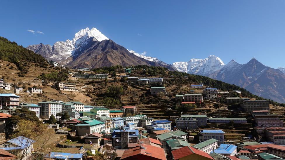 Image source, Didier Marti
Construction of tourism and housing facilities has surged in parts of Nepal and India's Uttarakhand
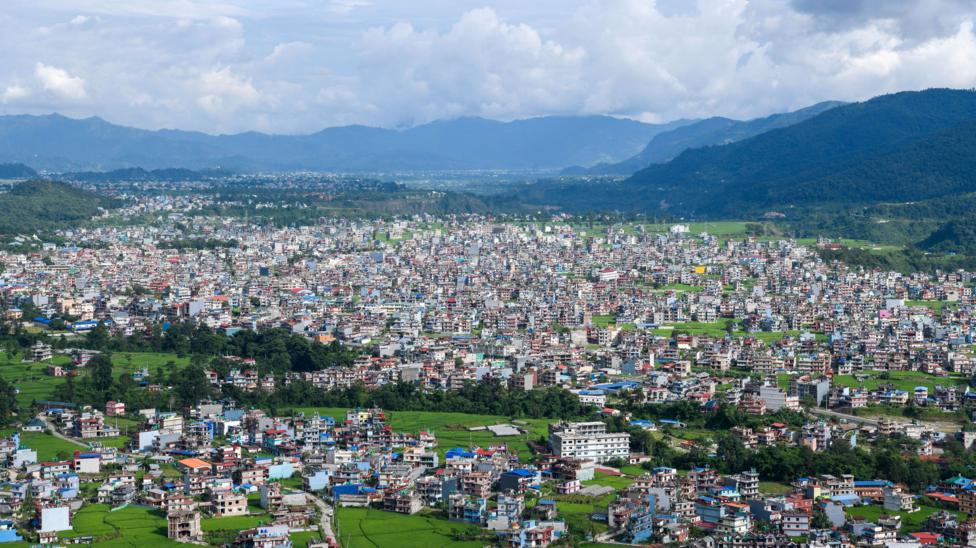 Image source, Piyas Biswas/SOPA Images/LightRocket via Getty Images
The major tourist hub of Pokhara has seen major development in recent years
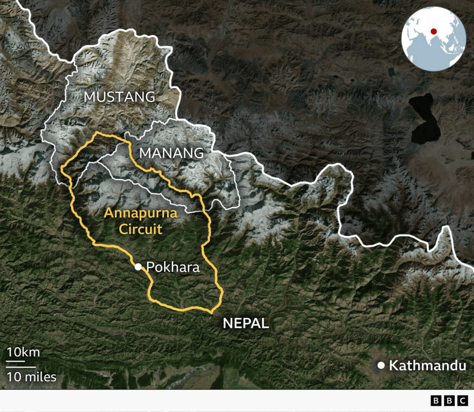
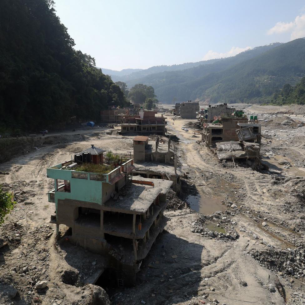 Image source, Subaas Shrestha/NurPhoto via Getty Images
Two months after the devastating August floods, these buildings in Trishuli Bazar remain devastated
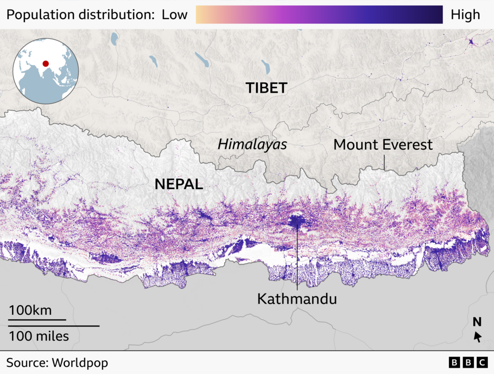
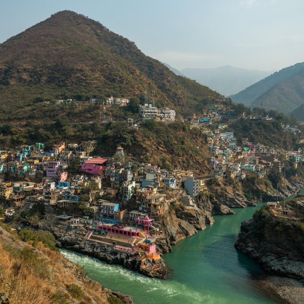 Image source, Bloomberg
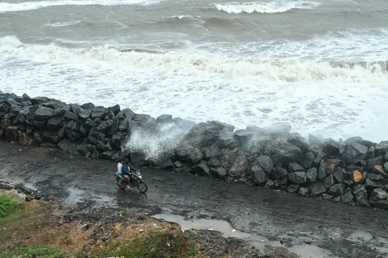
There has been 'rampant construction' in the Indian state of Uttarakhand in areas at risk from flooding, activists say