The key facts
- Aemet has issued red warnings for the southern coast of Valencia and the north of Alicante, and orange warnings for Seville, Ronda, and Sierra de Grazalema.
- The most likely maximum rainfall is 60–90 mm per hour and 200–300 mm in 12 hours on the southern coast of Valencia and near Cape La Nao.
- By Monday evening, the episode may shift to the north of Valencia and Tarragona, weakening by Tuesday.
Red level of danger on the Valencian coast
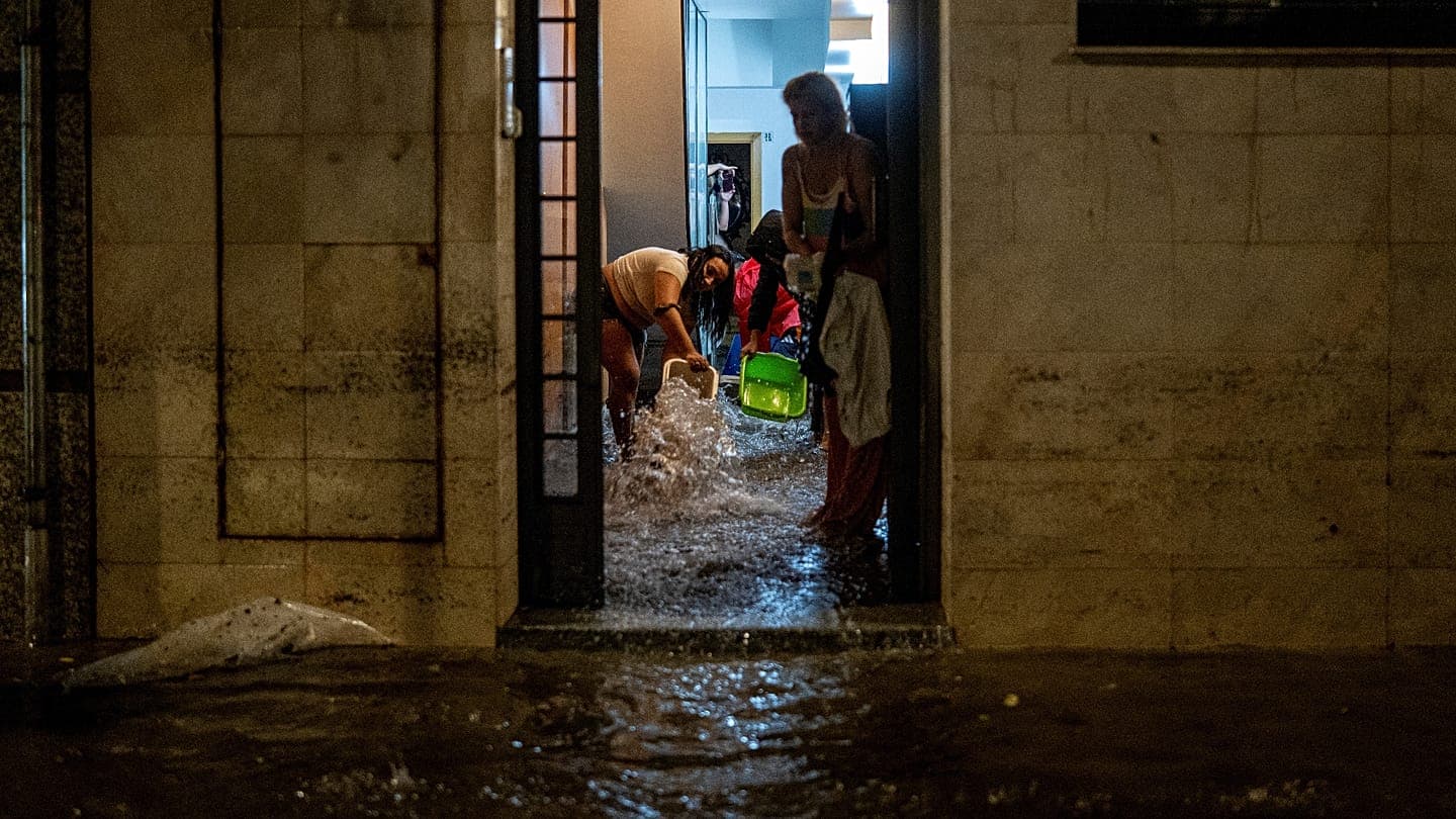
The State Meteorological Agency of Spain (Aemet) has issued a special warning of 'very heavy and prolonged' rains and thunderstorms in the Levante region and parts of the Balearic Islands, effective from Sunday for 48 hours. The cause is the isolated depression DANA 'Adam', cut off from the general atmospheric circulation, combined with a very humid easterly flow. The rainfall will affect four provinces — southern Valencia, Alicante, Murcia, and the coast of Almería — as well as up to three Balearic Islands, especially the Pityusic Islands (Ibiza and Formentera), with significant totals also on Mallorca.
Forecast rainfall amounts
At present, red warnings remain in effect only along the southern Valencian coast and in the north of Alicante; in addition to the Mediterranean areas, orange warnings are in effect in the lowlands of Seville, Ronda, and Sierra de Grazalema in the province of Cádiz. According to Aemet, the most likely scenario involves maximum accumulations on the southern coast of Valencia and near Cape La Nao — more than 60–90 mm per hour and up to 200–300 mm in 12 hours, with possible spread to neighboring areas. On the Pityusic Islands, more than 160 mm may fall in 12 hours. The agency notes that it is difficult to calculate precisely where the maximum totals will occur and admits that the downpours may become 'torrential'.
Further development of the situation
From the afternoon, according to the agency, significant rainfall is also possible in the coastal and foothill areas of Alicante, Murcia, and Almería and across the Balearics, spreading to Mallorca — over 50 mm per hour and 100–140 mm in 12 hours. On Mallorca, the impact will be most pronounced on the southern coast, where the capital of the archipelago, Palma, is located. Aemet warns that late Monday evening the episode may shift to the north of Valencia and even reach Tarragona before finally weakening by Tuesday.