The key facts
- The red alert on Madeira is in effect from 21:00 on Tuesday until 06:00 on Wednesday, then orange until 09:00.
- On the mainland, orange alerts for rain, wind and rough seas are in effect for Lisbon, Évora, Faro, Setúbal, Santarém, Leiria, Beja and Castelo Branco.
- Wind gusts of up to 120 km/h are expected on the mainland and up to 130 km/h in the mountains of Madeira, with waves up to 6 meters.
Two cyclones and the red alert level on Madeira
Portugal is being hit by two cyclones at once — Charles and Bruna: the first will begin to be felt on the Madeira archipelago from the evening of Tuesday, November 10, and by Wednesday it will reach the mainland of the country. This is reported by euronews citing the national weather service Instituto Português do Mar e da Atmosfera (IPMA) and the country's government.
Alert levels and forecast parameters
For the mountainous areas and the southern coast of Madeira, a red alert — the highest level — is in effect from 21:00 on Tuesday until 06:00 on Wednesday, after which it drops to orange until 09:00. The northern coast of the archipelago is under an orange alert from 21:00 to 09:00, and the neighboring island of Porto Santo is under a yellow alert for the same period. IPMA forecasts rain and showers from midday, locally heavy and prolonged, with possible thunderstorms: wind in the highlands may reach 130 km/h, and waves on the southern coast — 4.5 meters.
Mainland: eight districts under an orange alert
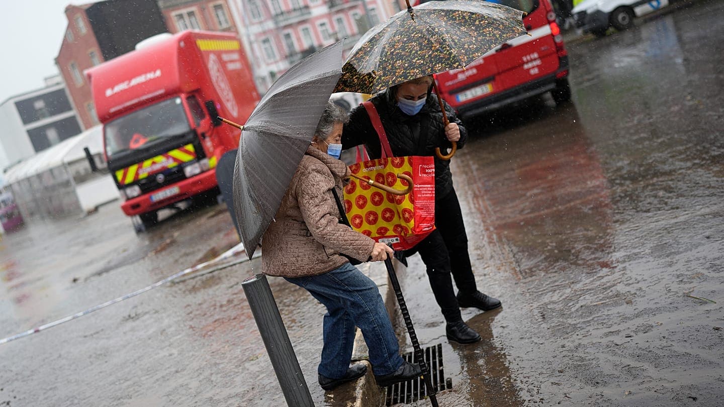
On the mainland, IPMA has issued orange alerts for rainfall, wind and rough seas for eight districts: Lisbon, Évora, Faro, Setúbal, Santarém, Leiria, Beja and Castelo Branco. According to the service, the effect of cyclone Charles will begin to be felt from midday, with rainfall 'locally heavy across most of the territory', wind gusts may reach 120 km/h, and waves — six meters. The government warns of the risk of floods, landslides, rockfalls, falling trees and incidents on the coast, as well as possible power outages and communication disruptions. According to the authorities' assessment, drainage systems will not cope with the volume of rainfall, so several areas, including cities, will be flooded.
Government recommendations and the first incidents
In a statement on social media, the Cabinet urged people to 'leave home only when absolutely necessary, especially during peak rain and wind', and drivers to exercise 'maximum caution'. Residents are advised to keep flashlights and charged power banks at hand, clear storm drains and gutters, and avoid areas along waterways and places of previous floods — according to the government's warning, 'water hides potholes and open manholes and can sweep away people and cars'. Beaches, cliffs, breakwaters, piers and riverbanks were named dangerous; parking in flood zones, underground parking lots and under trees is not recommended.
130 incidents in Lisbon overnight
The bad weather is already making itself felt: the Lisbon Fire Brigade Regiment (RSBL) reported 130 incidents between 00:00 and 06:00 on Tuesday, most of them flooding of homes and public spaces without significant damage. 'We had several cases of road closures in the area of the Segunda Circular ring road, in the Campo Grande area, as well as in Prior Velho and Olivais, but all of them have already been resolved,' the rescuers said, adding that they had recorded three cases of falling trees with no consequences for people or property. According to euronews citing the Lusa agency, the National Emergency and Civil Protection Authority (ANEPC) was to present an updated assessment of the storm's consequences at a press conference at 8:30 a.m. on Tuesday.