The key facts
- Charles is the third named storm of the 2026/2027 season, after Adam and Bruno
- In Madeira, more than 100 mm of precipitation may fall in 12 hours, with wind gusts up to 130 km/h
- Bruno left about ten people homeless in Madeira, and one person is missing
A new storm is approaching
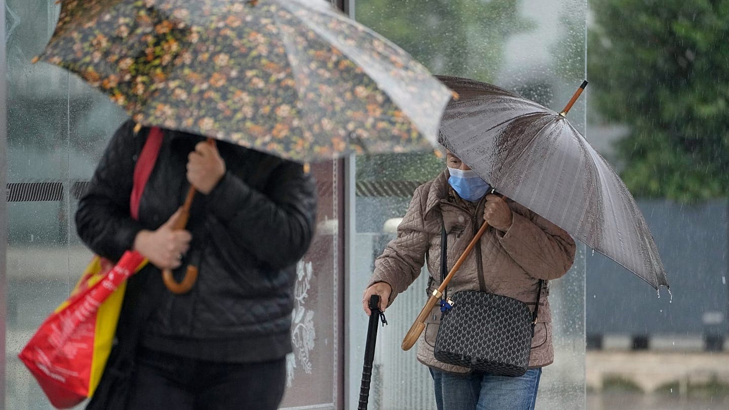
Portugal has not yet recovered from cyclone Bruno, but a new storm — Charles — is already heading toward the Iberian Peninsula. According to euronews, citing the Portuguese Institute for Sea and Atmosphere (IPMA), the weather will deteriorate in Madeira from late Tuesday, November 10, and on the mainland on Wednesday, November 11, when orange-level warnings — the second most serious in the institute's scale — will be in effect. IPMA does not rule out raising the warning level in some regions after the forecast models are updated.
What the meteorologists promise
In Madeira, where Bruno caused significant damage over the weekend, persistent and locally heavy rain is expected: in some areas, primarily mountainous ones, more than 100 mm of precipitation may fall within 12 hours. Wind from the southwest will gust at 80–100 km/h, and around 130 km/h at higher elevations. Off the island's southern coast, southwest waves of 3.5–4.5 meters are forecast.
The mainland and Spain
On mainland Portugal, the weather is expected to worsen from late Wednesday morning: wind gusts of around 100–120 km/h, locally higher, and from Wednesday afternoon south of Cabo Carvoeiro — waves of 4–6 meters. Rain will be heavy in places across much of the territory. The Azores, according to the forecast, will not be affected by Charles's passage. In Spain, the meteorological agency Aemet also names Wednesday as the most severe period, with Thursday being a day of unstable but less intense weather.
An uncertain trajectory
The European (ECMWF) and American (GFS) weather models agree that the cyclone's initial trajectory will pass between the north of the Canary Islands and the Madeira archipelago. Its further path remains unclear: the data indicate that the storm's core may approach the Iberian Peninsula either through the Gulf of Cádiz or between Sines and Cabo Carvoeiro.
Bruno's aftermath and official recommendations
Charles is the third named storm of the 2026/2027 season, after Adam, which remained confined to Spanish waters of the Mediterranean, and the ongoing Bruno. The new cyclone has subtropical origins and formed at lower latitudes of the Atlantic. Bruno, which will remain nearly stationary northwest of the peninsula until Friday, is a system independent of Charles: in Madeira it caused flooding, left about ten people homeless, one person is listed as missing, and dozens of flights were cancelled at Funchal airport on Saturday and Sunday.
Civil protection recommendations
In view of the approaching storm, the civil protection service (ANEPC) urged the population to take preventive measures: avoid coastal areas and places exposed to the sea, do not cross flooded areas on foot or by car due to the risk of being swept into potholes or open manholes, exercise caution in wooded areas due to possible falling trees, and stay away from damaged buildings, retaining walls and slopes. It is also recommended to clear storm drains, secure unsecured structures — scaffolding, billboards, objects on balconies and windowsills — close and secure shutters and windows, especially on the windward side, and drive defensively at reduced speed on the roads, taking into account possible aquaplaning on the surface.