The key facts
- The decree on the baselines and maritime boundaries of the archipelago will be signed on November 30, St. Andrew's Day
- A law of August 4, 1978 required technical baselines, but in 1984 the coordinates were established without applying them to the island territory
- In 2012, the International Court of Justice of the UN confirmed Colombia's sovereignty over the islands but expanded Nicaragua's economic zone; in 2023, Nicaragua's claims to the continental shelf were rejected
Announcement of the signing of the decree
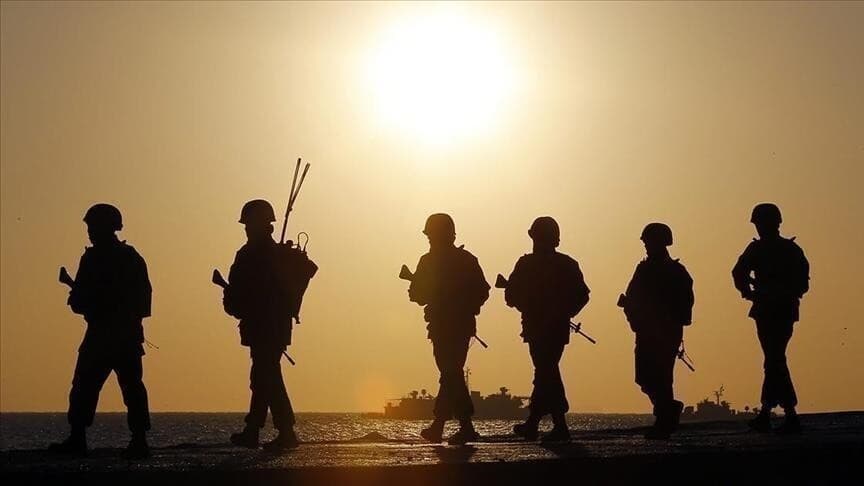
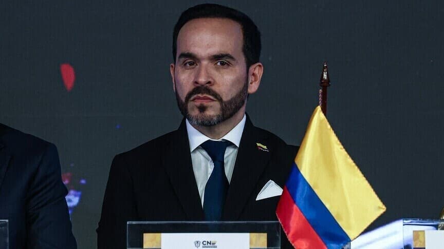
President of Colombia Abelardo de la Esprriella, in a Sunday address to the nation, announced that he will sign a presidential decree officially establishing the baselines and maritime boundaries of the archipelago of San Andrés, Providencia and Santa Catalina. The statement was made aboard a naval vessel off the coast of San Andrés. The signing is scheduled for November 30 — St. Andrew's Day, the patron saint of the island.
Closing a 'historical debt'
According to the president, the coordinates will be entered into Colombia's official nautical charts in order to close a 'historical debt' dating back to Law No. 10 of August 4, 1978. The law mandated establishing technical baselines, but in 1984 the coordinates of the mainland were determined without applying similar technical definitions to the island territory. 'This debt to the Republic will be settled today,' said de la Esprriella.
Statements on sovereignty
'Colombia will not cede a single nautical mile. Our fleet will always be ready to act in accordance with the law... Not a meter more than the law recognizes, not a meter less than what belongs to us,' said the president. He emphasized that the measure serves to affirm state sovereignty and maritime jurisdiction, allowing precise calculation of the territorial sea and the exclusive economic zone. As part of the territorial defense policy, he stated that unauthorized economic, scientific or intelligence activity in waters claimed by Colombia will not be tolerated.
Context of the dispute with Nicaragua
The statement came against the backdrop of a long-running maritime dispute between Colombia and Nicaragua at the International Court of Justice of the UN. In 2012, the court confirmed Colombian sovereignty over the islands of San Andrés, Providencia and Santa Catalina and the adjacent cays, but redrew the maritime boundaries, expanding Nicaragua's economic zone. In 2023, the court rejected Nicaragua's claim to an extended continental shelf that overlapped with Colombia's 200-nautical-mile maritime zone. By publishing the coordinates of the baselines in official documents, the de la Esprriella administration expects to technically consolidate the maritime perimeter and strengthen security, commercial shipping and the rights of local fishermen in the Caribbean.
Investigation in the region
In parallel with the sovereignty measures, according to Anadolu, allegations of financial abuses on the archipelago prompted the national government to request coordinated intervention by Colombia's top oversight bodies. The initiative is aimed at checking for possible violations in local public procurement and investigating the activities of political networks suspected of interfering in government contracts and misusing public funds.