The key facts
- More than 1,300 people evacuated, hundreds of flights cancelled, one person killed
- Champi reached 'super typhoon' status with winds of 298 km/h; gusts are now around 190 km/h
- A strong El Niño, according to the UN, is 'off the charts'; its peak is expected in December
Taiwan braces for Typhoon Champi
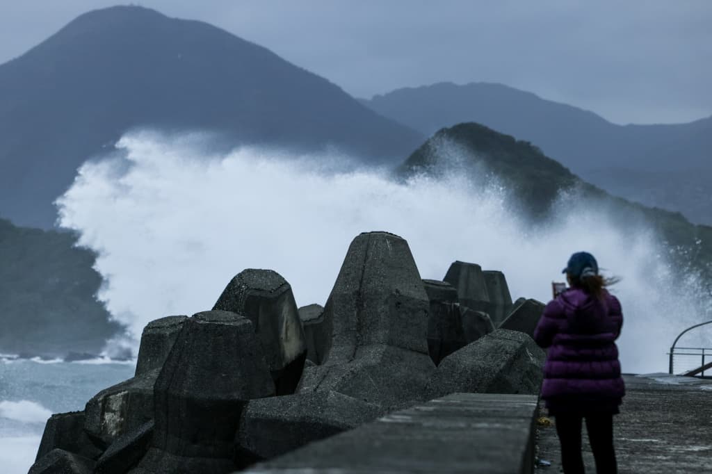
Taiwan is preparing for a possible direct hit from Typhoon Champi, which has weakened slightly but continues to approach the island. Nearly all businesses, shops and schools are closed. According to the transport ministry, more than 1,300 people have been evacuated to higher ground, and hundreds of flights in the region have been cancelled. At least one person died after being swept out to sea, and dozens were injured.
Preparations and measures
On Friday, residents were stacking sandbags and metal barriers in front of doors and windows to protect against flooding, while authorities positioned inflatable boats and amphibious vehicles across the island for rescue operations. In Taipei, public transport was running but on a reduced schedule. The military has been put on standby to assist with rescue work.
Track and weather forecast
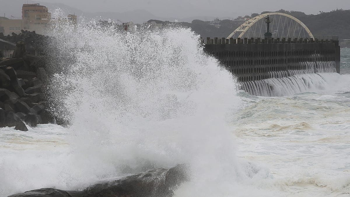
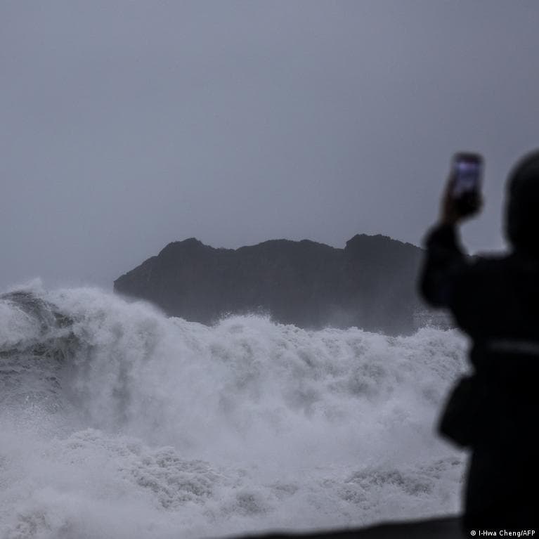
According to Taiwan's Central Weather Administration (CWA), Champi is located about 220 km east of the island's southern coast. The storm is expected to pass along the northeastern coast, then turn north toward China and eventually move east toward southern Japan. However, forecasters warn that any deviation from course could mean a direct hit on Taiwan. Heavy rain, huge waves and sustained strong winds are expected through Friday and Saturday. CWA administrator Lu Guo-chen told reporters that as the typhoon approaches the island's northeastern tip it may slow down, in which case its impact would last longer, adding that strong winds and very heavy rain would continue until the first half of the next day. The storm's radius is about 320 km — enough to cover most of the island.
The role of El Niño
Champi intensified against the backdrop of an exceptionally strong El Niño season this year — a cyclical phenomenon in which water temperatures in the tropical Pacific rise, intensifying storms or causing droughts. The typhoon reached 'super typhoon' status with winds of 298 km/h (185 mph). Although it has weakened and is no longer classified as a 'super typhoon', the CWA reports that wind gusts reach about 190 km/h. On Wednesday, the UN described the current El Niño phase as 'off the charts'; its peak is expected in December, and its effects could persist for years. The UN has called on countries in the Pacific region to prepare for the worst.